It’s hard to avoid the eerie feeling that you’re walking in
the footsteps of our ancestors when you cross Slater’s
Bridge in Little Langdale. There’s not a
road or modern building in sight – barely a building at all, in fact – and with
the worn stone beneath your feet, it’s easy to become lost in time. Anyone at any point in the four-hundred years
since the bridge was built could have done the same thing; gazed around at the
same fells, peered down into the same smooth clear water flowing swiftly
beneath. On a misty morning, it’s almost
a surprise that a pack-horse doesn’t
come clopping over the hill from Birk Howe Farm.
 |
| Slater's Bridge in the timeless landscape of Little Langdale. Photo Amy Askew. |
While Slater’s Bridge might be the most iconic old feature
in Little Langdale, the whole valley is rich with the signs and scars of
centuries of human use, not to mention five legally protected Scheduled Ancient
Monuments (SAMs).
Industrial heritage
Perhaps the most obvious features (although not scheduled) are
the quarries which dominate Tilberthwaite and the south-east part of Little
Langdale along with their enormous spoil heaps.
Slater’s Bridge is named on a sixteenth century map
so it’s thought that quarrying was already taking place here then – this seems
likely as the stone for most of the Lake District’s old slate buildings would
have come from small local quarries. The
Victorian era brought a full-scale ‘slate boom’ to Coniston and the surrounding
countryside as people travelled from all over the country to try their luck in
companies of four or five people. The
use of compressed air drills to make holes for blasting enabled exploitation on
a huge scale and the creation of giant pits like Cathedral Quarry, Hodge Close
and Moss Rigg. The development of
quality bricks brought large-scale slate quarrying to an end, and nature has
reclaimed many of the sites – the peaceful valley we enjoy today is a far cry
from the Victorian scene of heavy industry with drills ringing, dynamite blasts
and the rumble of heavy sleds of slate being dragged along.
 |
| Three companies of quarrymen in their shed. Photo courtesy of Alastair Cameron. |
|
The area is also known for copper mining, and the most
remote of Little Langdale’s SAMs is the Greenburn copper mine, tucked between
Wetherlam and Wetside Edge, a mile beyond where you have to leave even a
4x4. The site is huge and lots of the
infrastructure for processing the ore is in good enough condition to give an
idea of the scale of the operation in this lonely place, while tunnels (now closed) disappear
up to 700m into the hillside. Stone
huts, a cavernous pit for a waterwheel, leats for moving water, and the
remnants of a tramway are some of the most dramatic evidence of mining from the
1690s through to the late 1800s.
 |
| Greenburn copper mine with the wheel pit visible at the front right, looking down Greenburn to Little Langdale. Photo Ian Taylor, geograph.org.uk |
Ancient hamlets
Where Greenburn meets the main valley we step back even further
in time. Two catchily-titled ‘mediaeval
dispersed settlements’ are scheduled near Fell Foot Farm. These date from sometime between 1066 and
1500 and consist of the foundations of buildings and a kiln that is likely to
have been used for drying corn; they’re only visible now in the straight lines
of giant boulders used for their foundations.
Lots of people in Cumbria lived in these ‘dispersed settlements’ during
this period, with villages spread across entire valleys, a house or two in each
hamlet, and their occupants sharing open common grazing on the surrounding land.
 |
| Straight lines of giant foundation stones are all that's left of the hamlets. All the smaller stone would have been scavenged to make more recent walls like the one towards the back of the picture. |
The dry stone walls we see today were laid
over this landscape during the following few hundred years and you can see the
evidence of this ‘layering’ effect where some of them run across the
foundations of these settlements. The more
intricate patterns of walls in the smaller fields in the valley bottom were
built first as people started to manage larger flocks and herds more
intensively and needed places to sort and store them; from 1690 a series of
Enclosure Acts then allowed landowners to effectively privatise common land,
eradicating the common rights. The dead
straight lengths of wall arcing miles over the fell tops date from this period
as landlords marked their territory and controlled the grazing on it.
Please note that there
is currently no public access to the mediaeval settlements.
 |
| This long, straight wall dividing Great Intake on Low Fell from the fell grazing on Wetherlam is likely to date from one of the Enclosure Acts. |
Vikings and Romans
Tucked away directly behind Fell Foot Farm is the site that
speaks most to me – the Ting Moot (AKA Thing Mount/Mound – take your
pick). This terraced rectangle of earth,
about the size of a tennis court, was a meeting place that is likely to have been built during the 'Viking' period between about 800 and 1066. The Norse settlers had a very strong influence in the Lakes that we can see today in place names and words like beck (for stream, from the Norse 'bekkr') and fell (from 'fjall', Norse for mountain). Courts would have been held
at the Ting Moot as well as day to day meetings to administer the affairs of the area. Little Langdale would have been chosen as
this spot is central to the southern part of the region, with access possible
over Wrynose Pass from the west and via Ambleside from the south and east; the
passes here were a major trade route, and you can just about pick out the route
of the Roman road (which the current road follows over the passes) in the field
in front of the farm. Standing on the
road by the Ting Moot, with the Roman road in sight and Wrynose disappearing
vertiginously behind you, it’s easy to see why this spot would have had such
power. You can imagine the importance this route must have had when travelling
the Lakes by foot or horse, with the valley opening up impressively below while
Castle Howe rises sentinel-like directly above.
 |
| The Ting Moot tucked away behind Fell Foot Farm. The terraced edges are very obvious when you visit. |
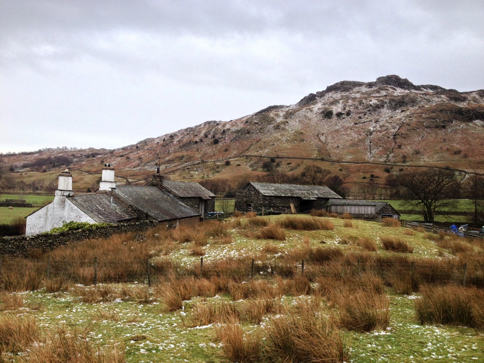
Speaking of Castle Howe, this is the last of Little Langdale’s
scheduled monuments, but unfortunately it seems likely that its history isn’t
so compelling. Although it was scheduled
in 2001 as an Iron Age hill fort (based on research from the 1920s), current thinking is that it’s probably not
a fort at all - although, as with all archaeology, we can never be certain. The ditches to the west of the peak, which
were originally interpreted as man-made defensive features, are now thought to
be natural, and a look at the summit suggests that even if ancient people had
created a defensive cordon here, there would be nowhere inside to make
buildings or live due to the steep and rocky ground. Although its human history is in dispute,
Castle Howe is a fascinating piece of geology known as a dyke, formed by a plug
of lava cooling in a vent from a giant volcano. It's consequently made from
harder rock than the surrounding area so while the rest of the landscape was eroded
under the glaciers of successive Ice Ages, these lumps - like Tarnclose Crag and the Langdale
Pikes to the north - stand ruggedly proud.
 |
| Castle Howe (on the right) rises above Fell Foot Farm and the Ting Moot, with Greenburn and Wetherlam beyond. |
There’s a huge amount more history in the valley that there’s not room to
cover here – each of the farms is a fascinating tale in its own right, for
instance – and this just demonstrates the rich story the landscape of the Lakes
has to tell. Little Langdale is
considered one of the Lake District’s gems in terms of scenery, but scratching
beneath the surface can add a whole new level of interest to your hike; the
valley is the perfect place to start an archaeological investigation and walk
in the footsteps of our ancestors.
The rangers work hard with the National Trust regional archaeologist and building teams as well as the tenant farmers to ensure our Scheduled Ancient Monuments and the rest of the amazing history in our landscape is looked after as well as possible. Sometimes this means excluding livestock or cutting vegetation on a monument to ensure it's not eroded, while other times we need to get the experts in to find out more information or carry out structural work. Keep reading our blog to find out more about our varied work in the South Lakes.


.JPG)
.JPG)
.JPG)
.JPG)
.JPG)
.JPG)
.JPG)
